
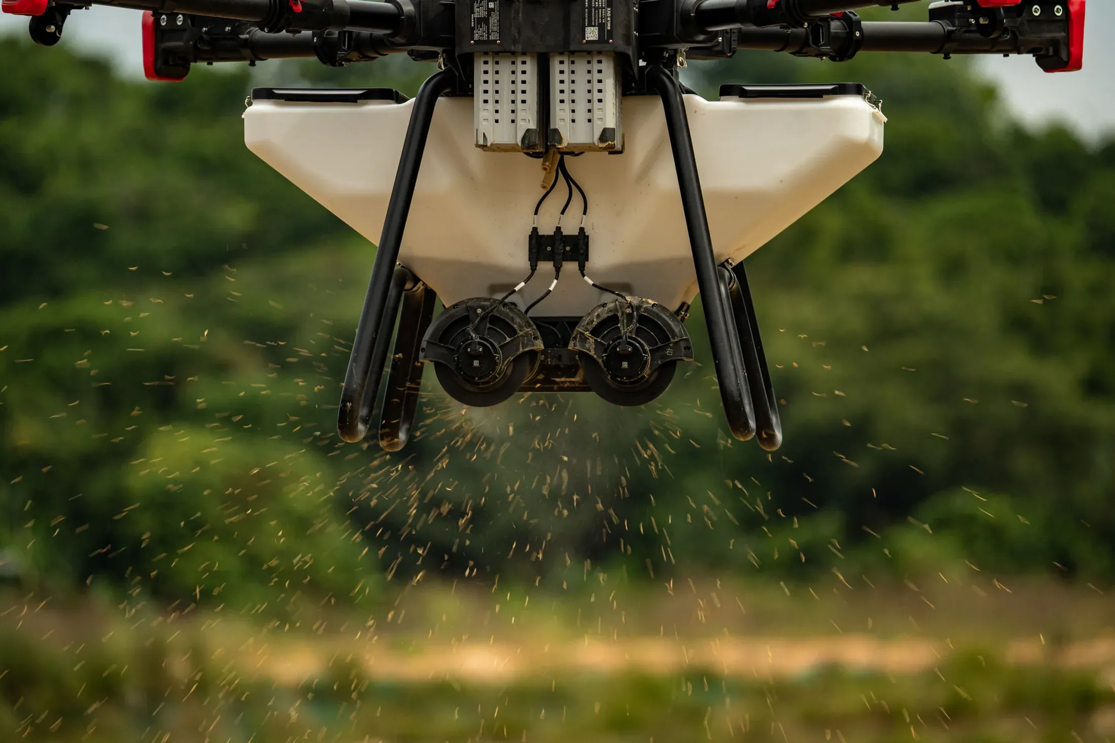
Drone spraying and fertilising
To the programme our agronomists set, and only as much as the crop needs — no heavy machinery in the field, and an even spread even on difficult ground.
Explore
Precision agricultural aviation
Spraying, fertilising and mapping with XAG agricultural drones. Every job is planned from our agronomists' survey, flown with RTK precision and handed over with a report.





Services
All of them planned with our in-house agronomists and flown with RTK-guided XAG drones.
To the programme our agronomists set, and only as much as the crop needs — no heavy machinery in the field, and an even spread even on difficult ground.
Explore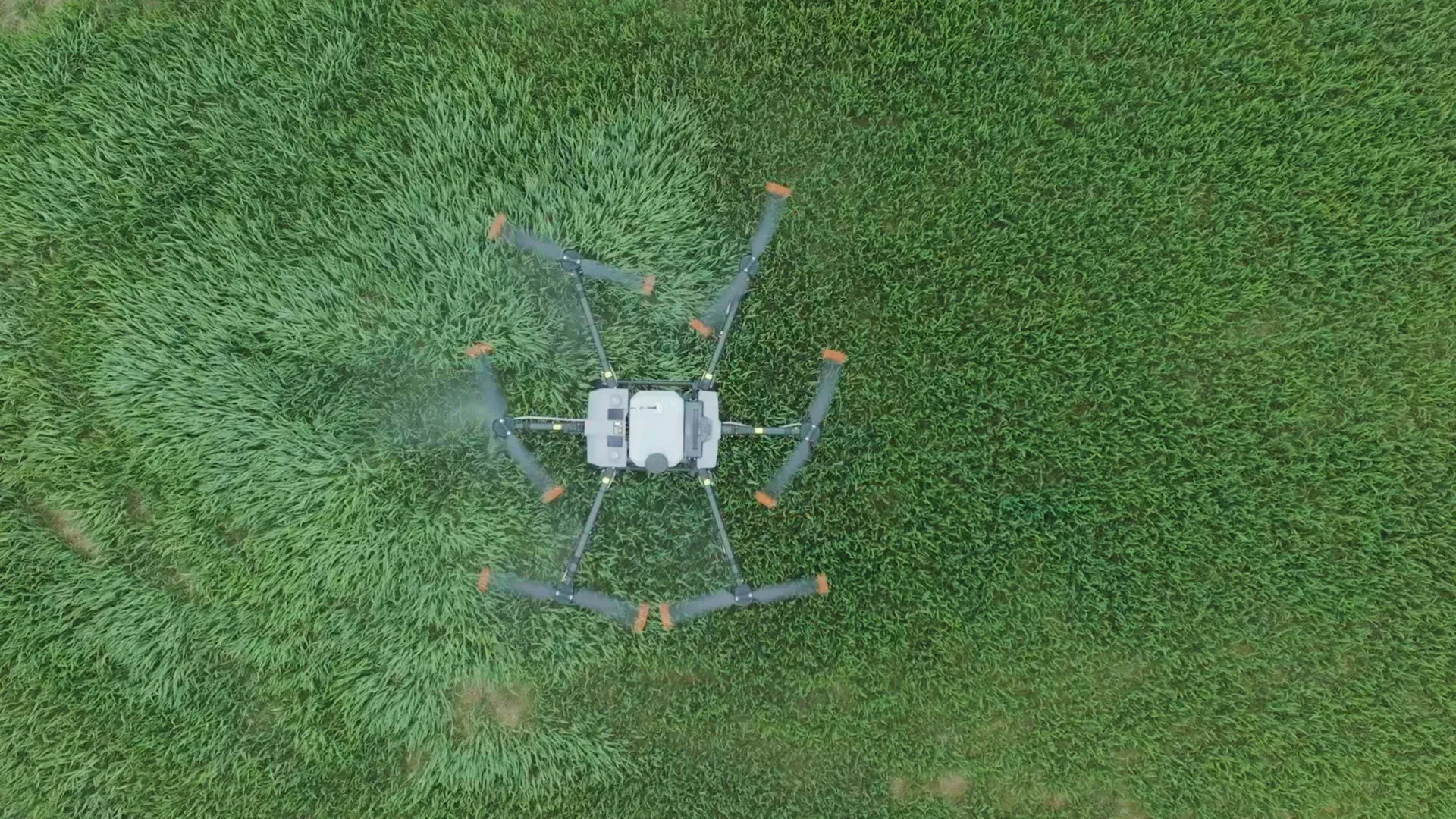
Multispectral scanning from the air: water stress, nutrient deficiency, disease and pest threats are caught early and arrive as a scientific report.
Explore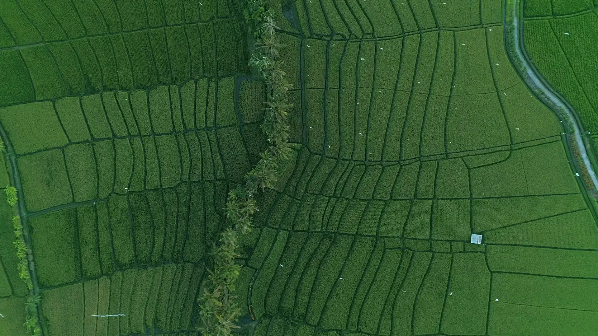
A digital map of your land: water distribution, soil structure, crop density and yield levels — so it is clear which areas need attention.
ExploreProcess
Five steps between your call and the application, each one grounded in your field's own data.
We talk through your field, your crop and what you need.
Our agricultural engineers assess the land, scanning it from the air where needed.
Dose, timing and flight route are set from what the field actually requires.
RTK-guided drones carry out the spraying, fertilising or imaging.
You get a report on the work done and the data collected.
Technology
We do our own fieldwork with these machines, and supply the same models to those who want to buy.
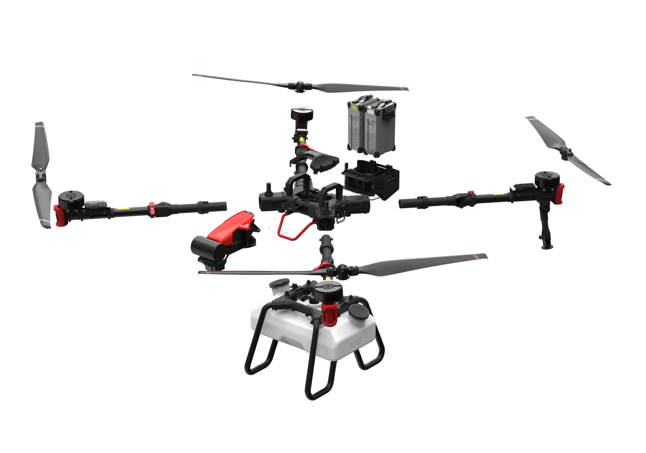
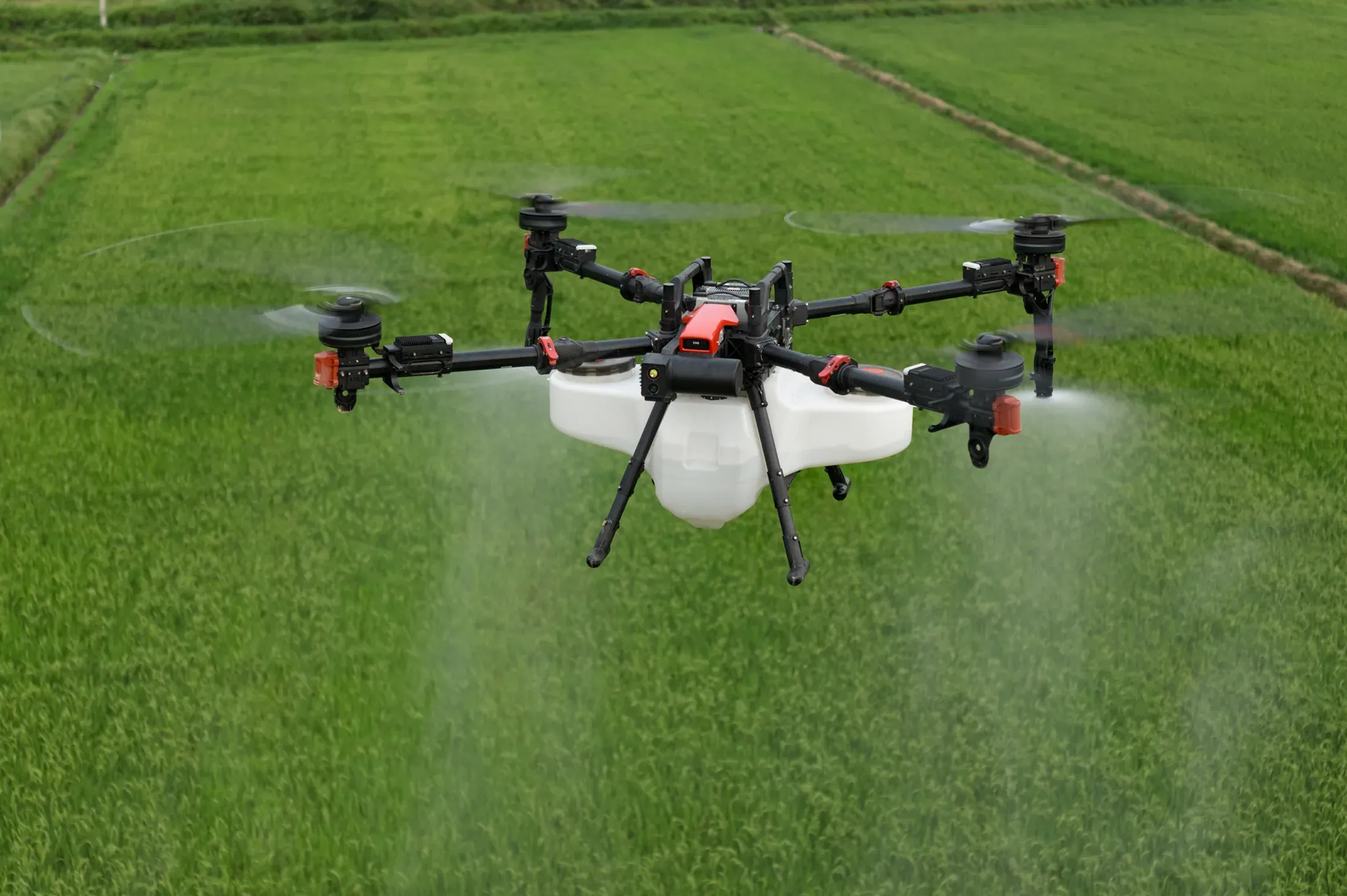
Spraying and spreading drone
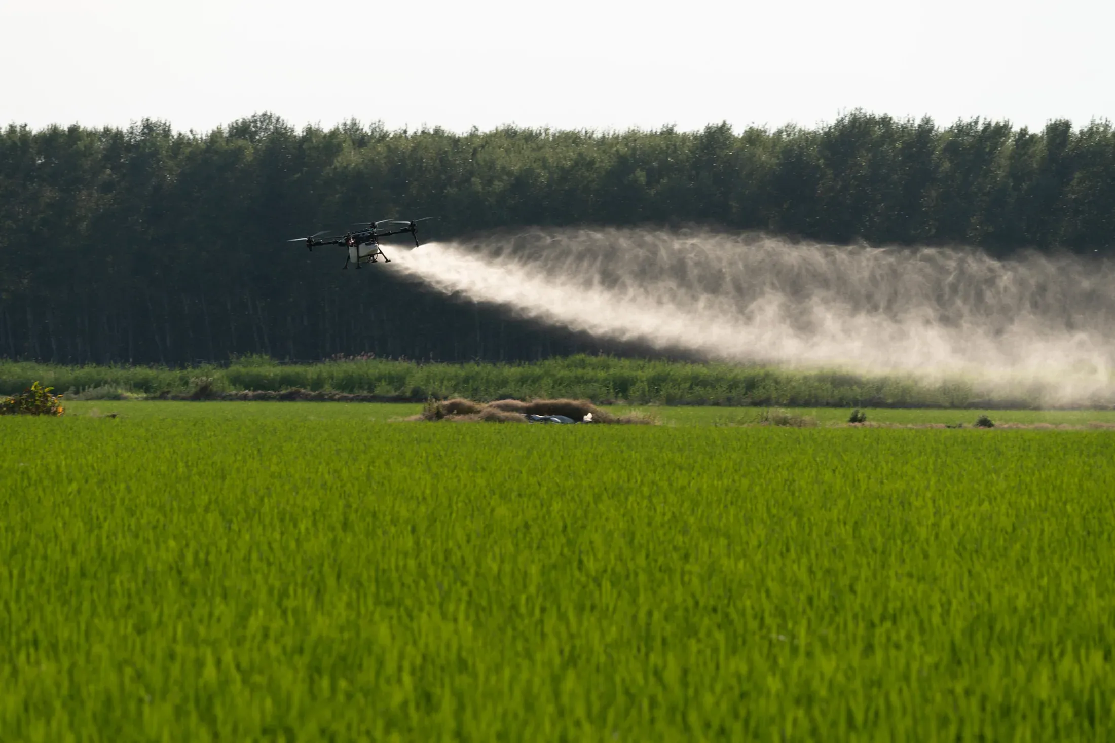
High-capacity agricultural drone
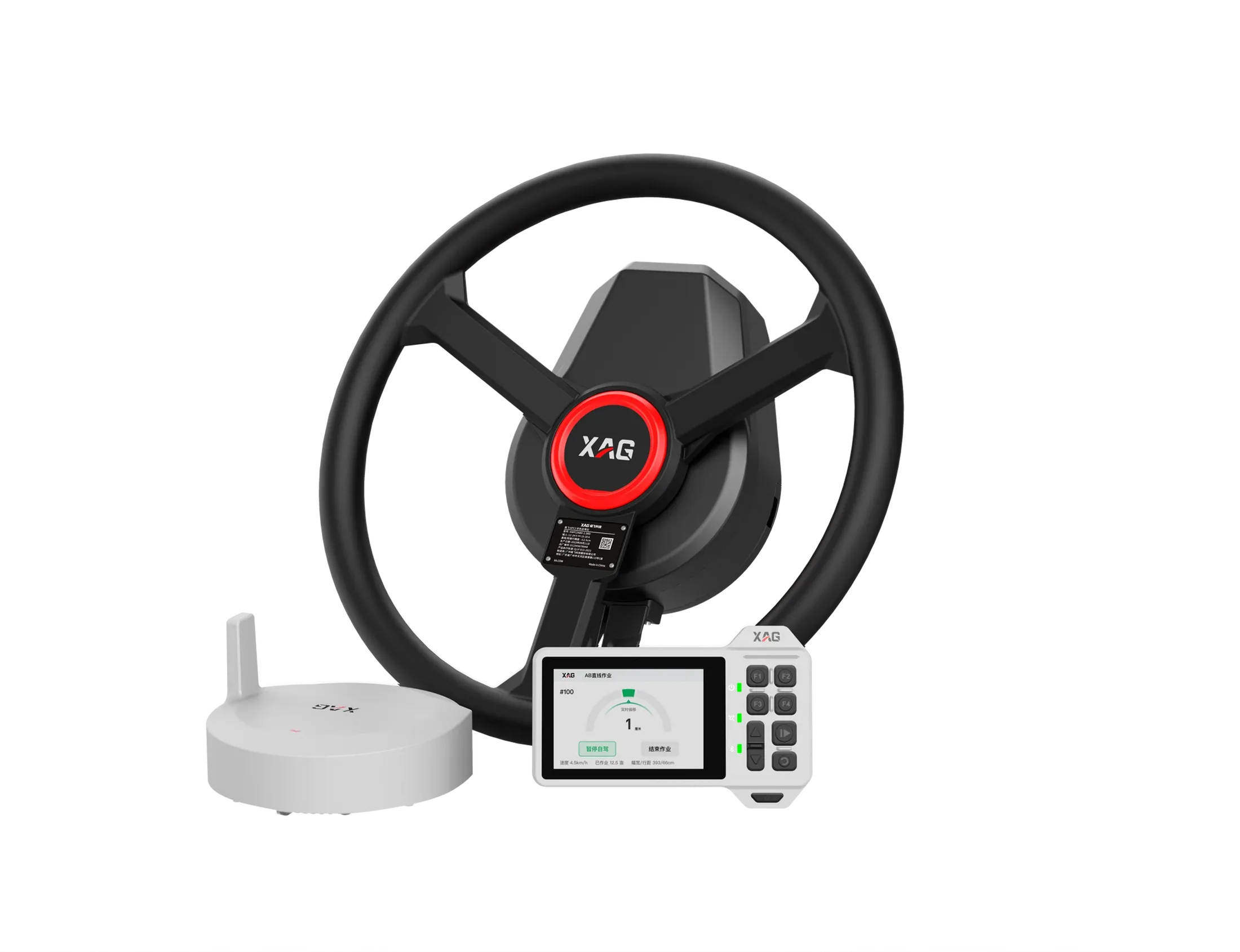
Autosteer for tractors
Impact in the field
Figures are from Skytech Air's own field operations.
Drone spraying and fertilising, drone crop analysis, and drone imaging and mapping. All three are run together with our in-house agricultural engineers.
Precision spraying only treats the area the crop actually needs, which reduces chemical and fertiliser use. And because no heavy machinery enters the field, there is no soil compaction and no crop crushed under wheels.
Our drones fly with RTK GPS, which gives centimetre-level positioning. The XAG APC2 autosteer system we supply for tractors and farm machinery guides to ±2.5 cm.
An aerial scan with multispectral cameras reveals the crop's water needs, nutrient deficiency, disease and pest pressure. Our agricultural engineers read that data and report which areas need water, fertiliser or protective spraying.
Contact
Leave the form and our team will call you — or call us directly.
Reach us directly
+90 850 308 2600 info@skytechhavacilik.com Macun Mah. Batı BulvarıATB İş Merkezi I Blok No: 244Yenimahalle / Ankara